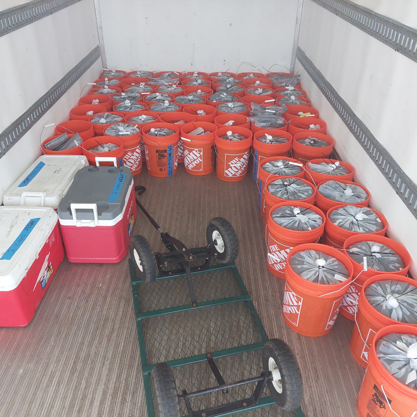
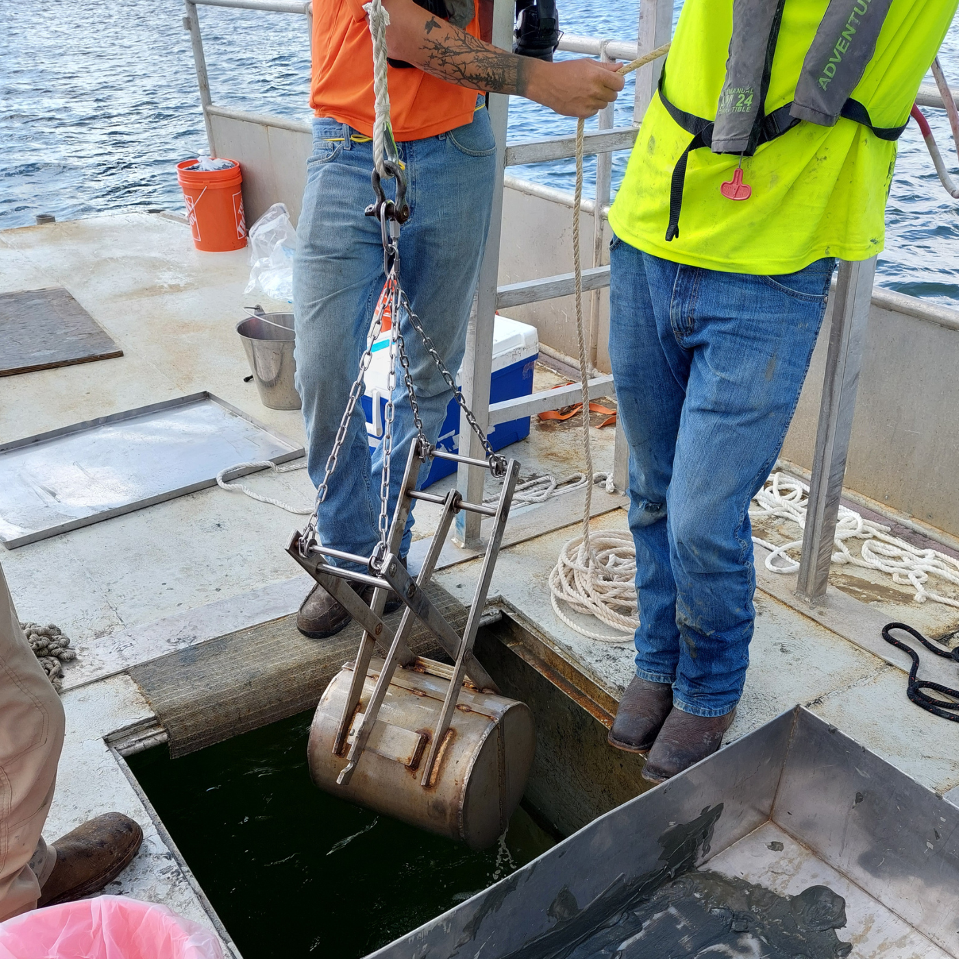
The US Army Corps of Engineers, Charleston District contracted ANAMAR to conduct an MPRSA Section 103 sediment evaluation of maintenance dredged material from the Charleston Lower Harbor for ocean disposal.
Region
Where:
Location:
EPA Region:
Region 4
USACE District:
Charleston District
Project Statute
- MPRSA Section 103
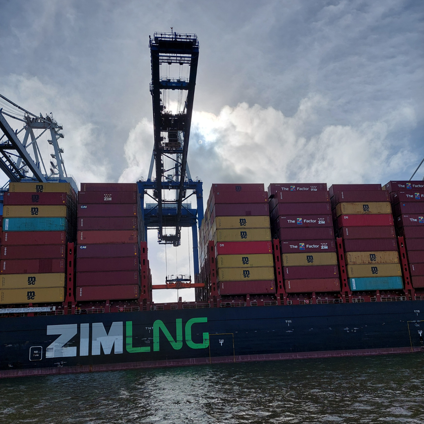
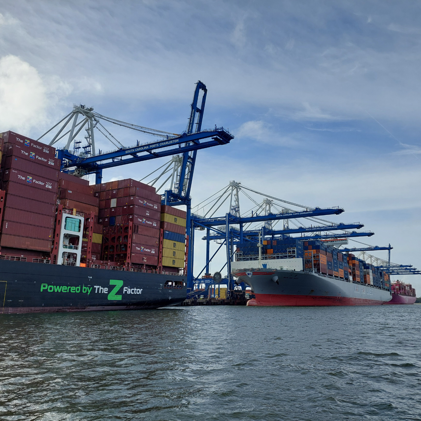
This Marine Protection Research and Sanctuaries Act (MPRSA) Section 103 sediment evaluation is for maintenance dredge material from the Charleston Lower Harbor Federal Navigation Channel (FNC). ANAMAR produced a report that detailed the field sampling, analysis, and results of MPRSA Section 103 sediment testing and analysis in support of maintenance dredging of the Charleston Lower Harbor FNC. Charleston Harbor is a coastal estuary fed by the Cooper, Ashley, and Wando rivers and is home to one of the busiest container terminals in the southeastern U.S. At its easternmost extension, Charleston Harbor FNC reaches the 54-foot ocean contour in coastal Atlantic waters. The FNC extends 36.1 miles westward and landward from that contour, through the jetties, to the North Charleston Terminal on the Cooper River.
Operations and maintenance (O&M) dredging is routinely conducted along the FNC to ensure safe and efficient passage. A mechanical clam shell excavator is typically used for O&M dredging. The dredged material is placed in a split-hull scow for transport and disposal at the Charleston ocean dredged material disposal site (ODMDS). The authorized depth of most of the Charleston Lower Harbor channel is -52 feet below mean lower low water (MLLW) but the allowable advanced maintenance depth varies by channel reach from 2 to 6 feet. An additional paid overdepth of 2 feet is added to all reaches.
The portion of the Charleston Lower Harbor FNC evaluated in the ANAMAR report was divided into eight dredged material management units (DMMUs). DMMU 1 (Hog Island Reach) has a project depth of -52 feet MLLW plus 2 feet advanced maintenance and 2 feet of paid overdepth, totaling -56 feet MLLW. DMMU 2 (Wando River Lower Reach) has a project depth of -52 feet MLLW plus 4 feet advanced maintenance and 2 feet of paid overdepth, totaling ‑58 feet MLLW. DMMU 3 (Wando River Upper Reach and Upper Turning Basin) has the same depths as DMMU 2. DMMU 4 (Drum Island Reach and Myers Bend) has a project depth of -52 feet MLLW plus 6 feet of advanced maintenance and 2 feet of paid overdepth, totaling -60 feet MLLW. DMMU 5 (Lower Shipyard River) has a project depth of -45 feet MLLW plus 2 feet of advanced maintenance and 2 feet of paid overdepth, totaling -49 feet MLLW. DMMU 6 (Daniel Island Reach) has a project depth of -52 feet MLLW plus 2 feet of advanced maintenance and 2 feet of paid overdepth, totaling -56 feet MLLW. DMMU 7 (Hugh Leatherman Terminal Turning Basin) has the same depths as DMMU 6. DMMU 8 (Daniel Island Bend) has a project depth of -48 feet MLLW plus 2 feet of advanced maintenance and 2 feet of paid overdepth, totaling -52 feet MLLW.