-
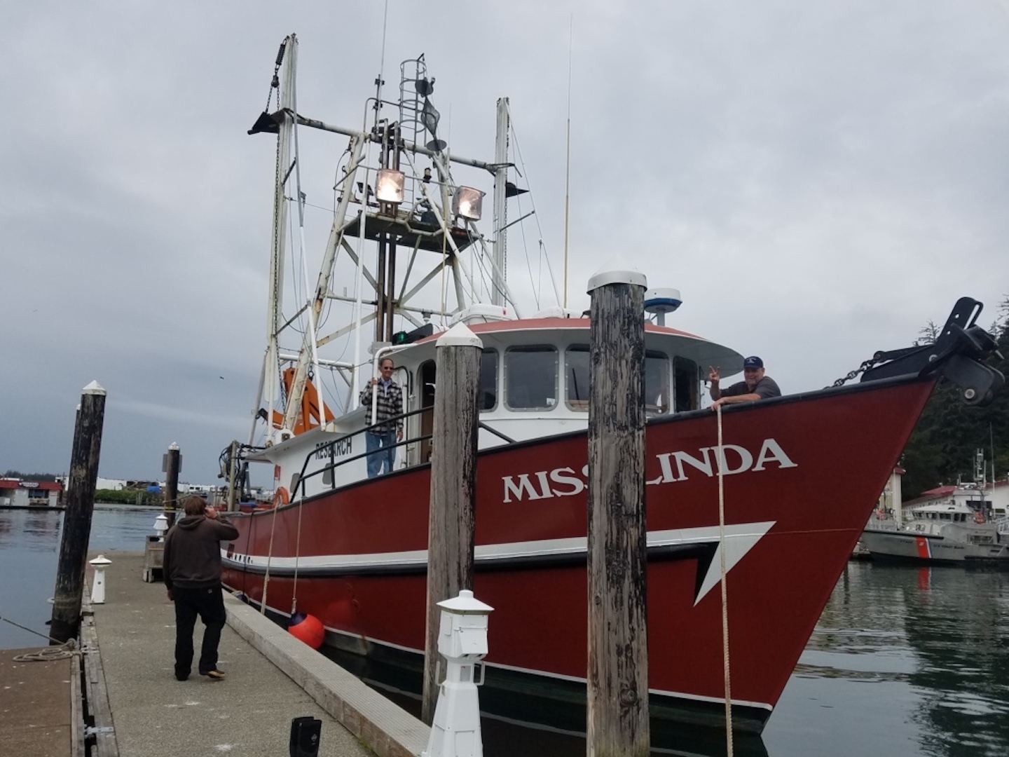
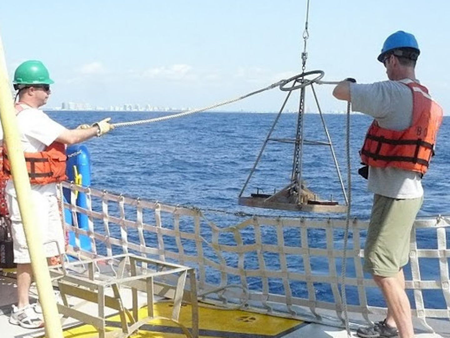
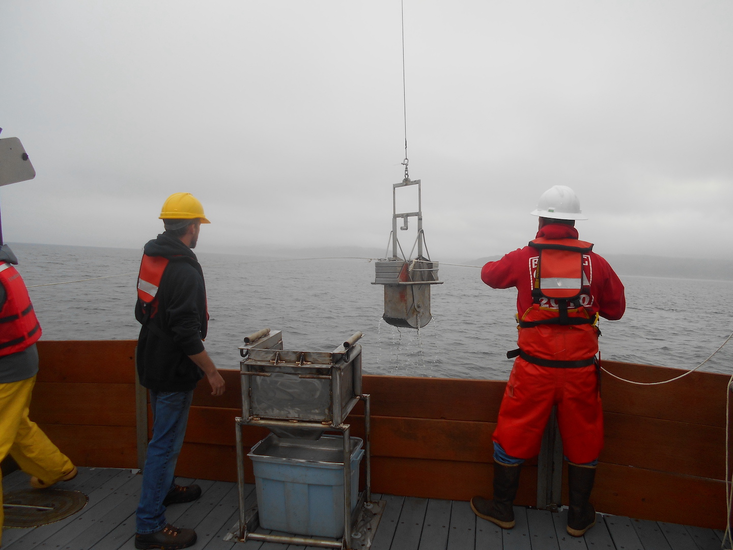
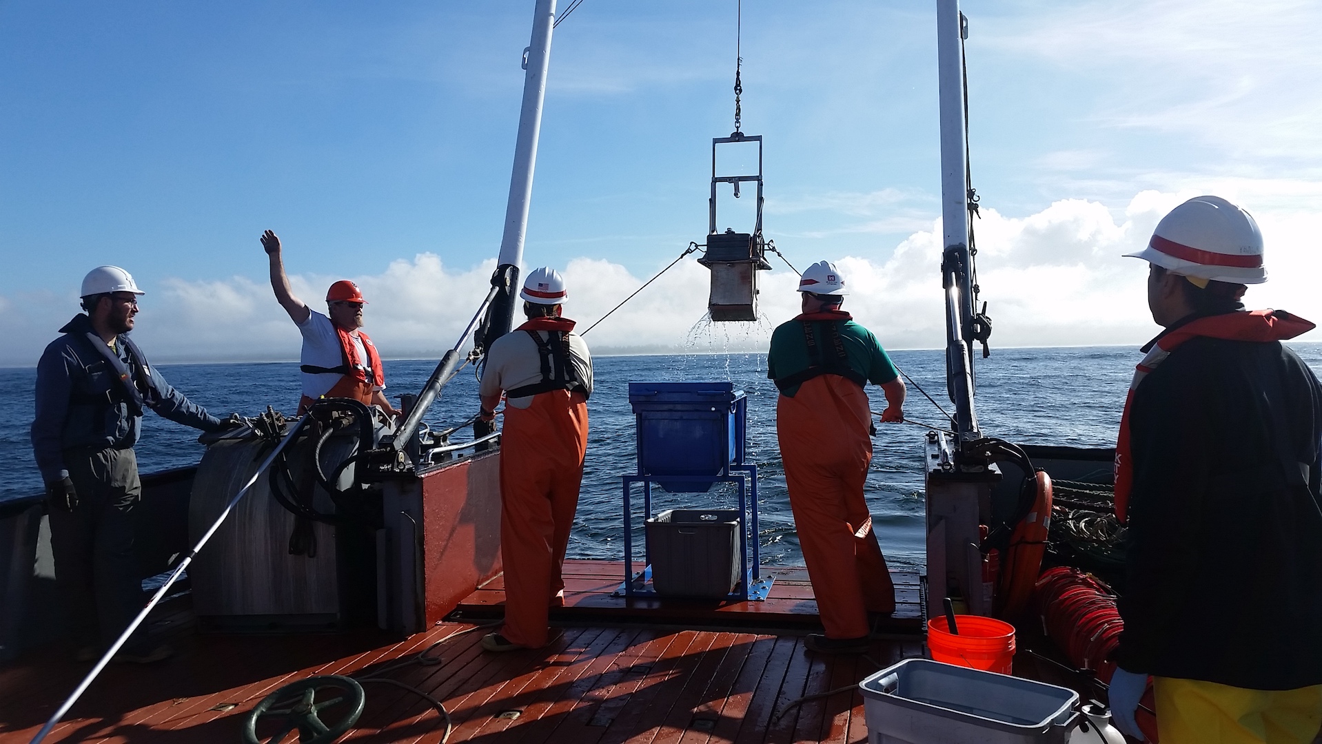
Ocean Dredged Material Disposal Site Monitoring Surveys, Umpqua ODMDSs and Siuslaw ODMDSs
 Winchester Bay and Florence, OR
 -
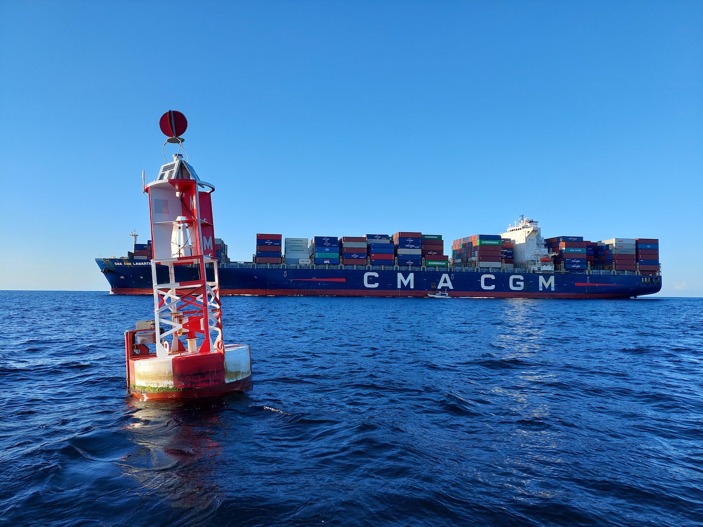
Site Designation Study, Port Everglades Harbor ODMDS Expansion
Ft Lauderdale, FL
Channeling
potential into
progress

Active Filters:
5 projects found

The right partner for your project
Learn about our full range of service offerings, and our wealth of experience in each.