The US Army Corps of Engineers, Portland District contracted ANAMAR to conduct two sediment evaluations for the Yaquina River and the Port of Port Orford, both located on the Oregon coast.
Region
Where:
Location:
EPA Region:
Region10
USACE District:
Portland District
Project Statute
- PNW SEF
- MPRSA Section 103
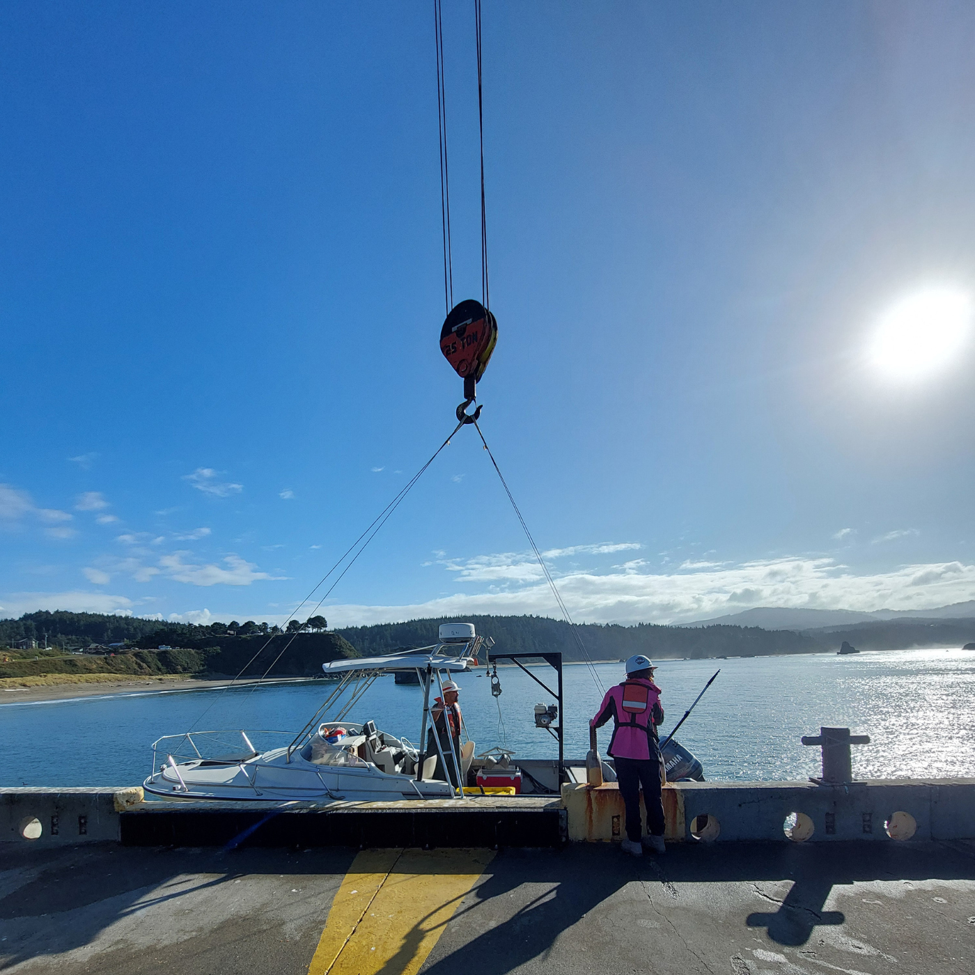
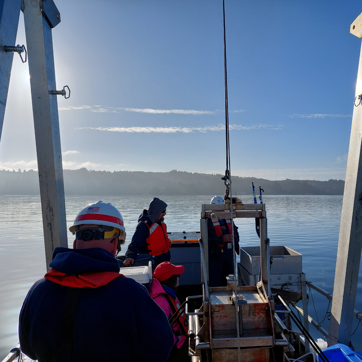
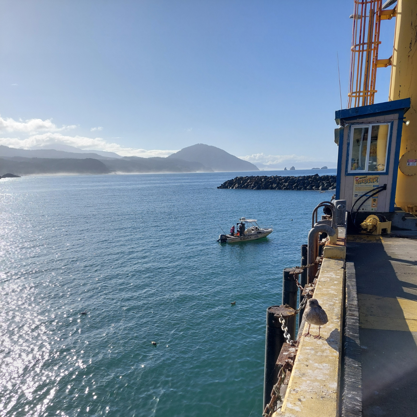
Port Orford is located about 250 miles south of the Mouth of the Columbia River. It is a natural cove protected from the north and west by a headland extending seaward southerly for approximately one mile. The authorized federal navigation project includes a breakwater 550 feet long and a turning basin 16 feet deep, 4 feet of advanced maintenance dredging (AMD), 100 feet wide, and 340 feet long (Attachment A).
The Yaquina Bay and River Federal Navigation projects provide for an approximately 14-mile long
federal navigation channel (FNC) and turning basin as well as the South Beach Marina (SBM) federal access channel and Depot Slough federal side channel (DEP). These projects are located within the Yaquina River drainage basin, approximately 100 miles south of the Columbia River near Newport, Lincoln County, Oregon. This sediment study will focus on the upper portion of Yaquina Bay from River Mile (RM) 2+20 to 4+20 and the Yaquina River from RM 4+20 to 13+30 at Toledo, Oregon. The Yaquina River project extends to RM 14+20, but the Corps is not planning to maintain the reach upstream of Butler Bridge Rd (RM 13+30 to 14+20)