-
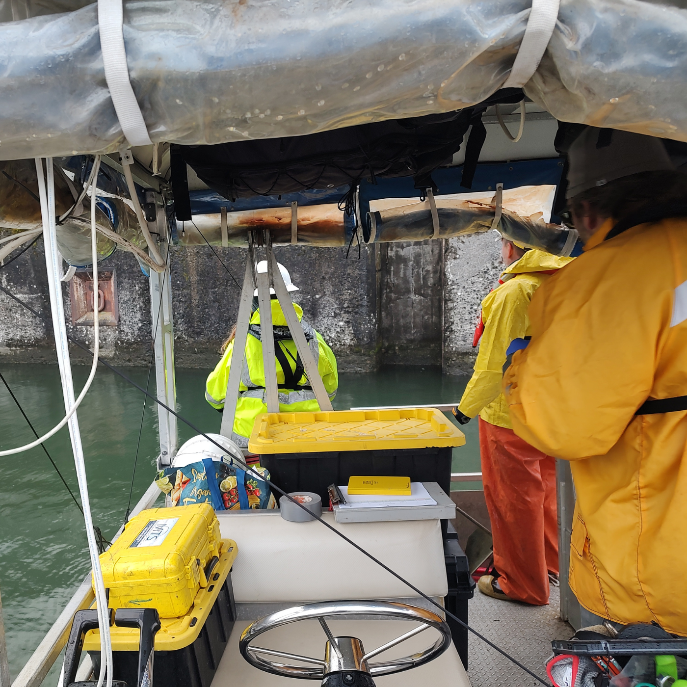
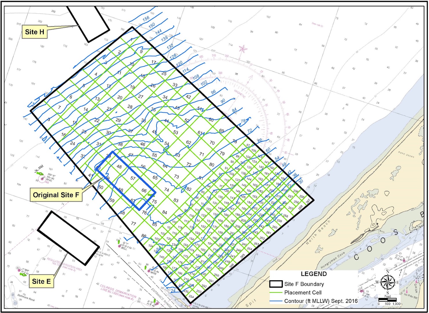
Portland Sediment Characterizations: 2023
 Various, Or
 -
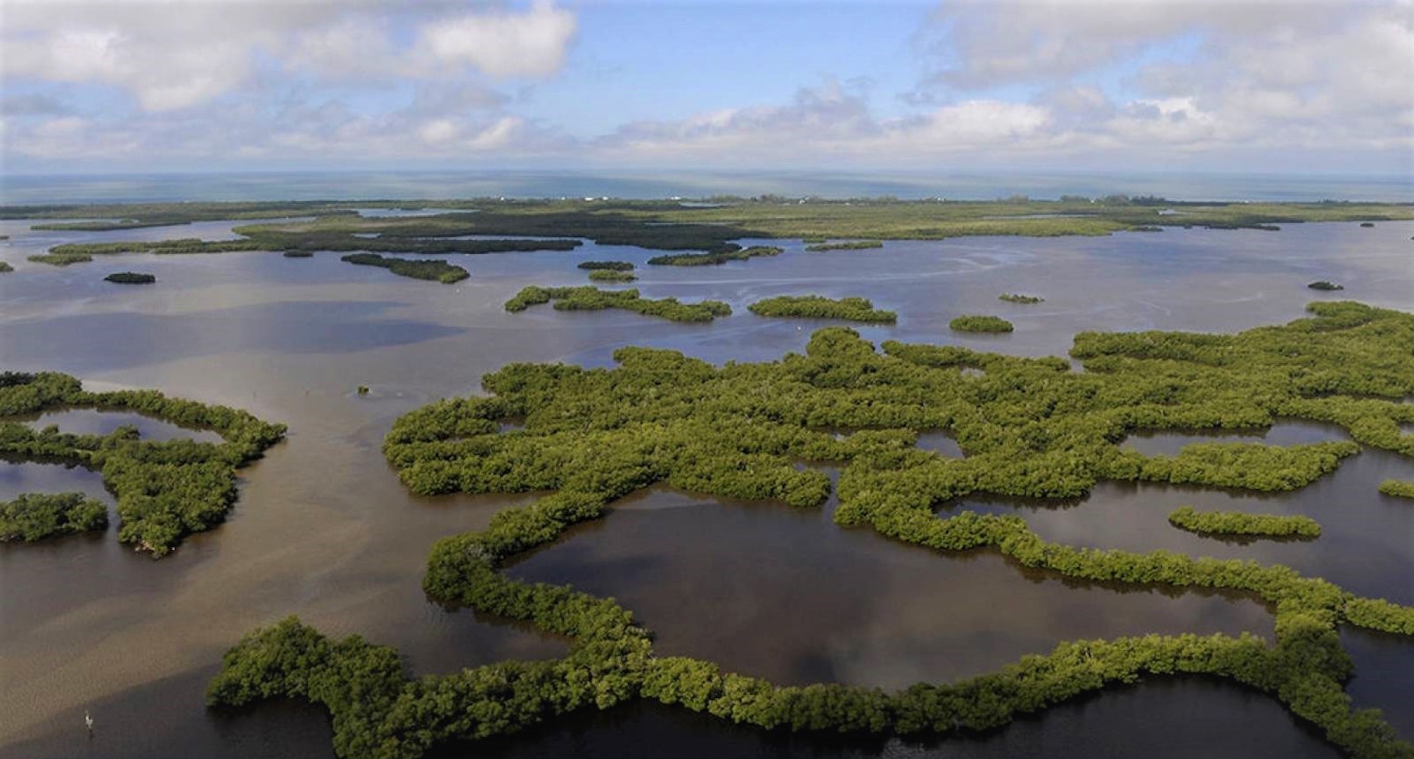
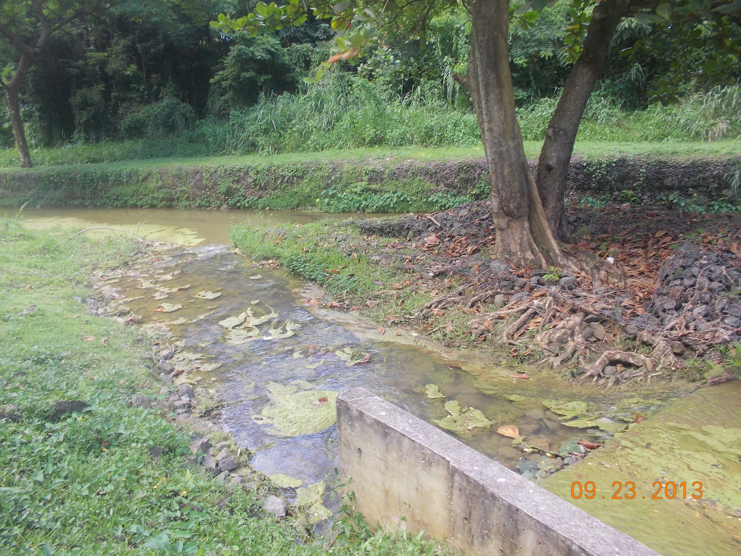
Management Plan, Rookery Bay National Estuarine Research Reserve
Rookery Bay, FL -
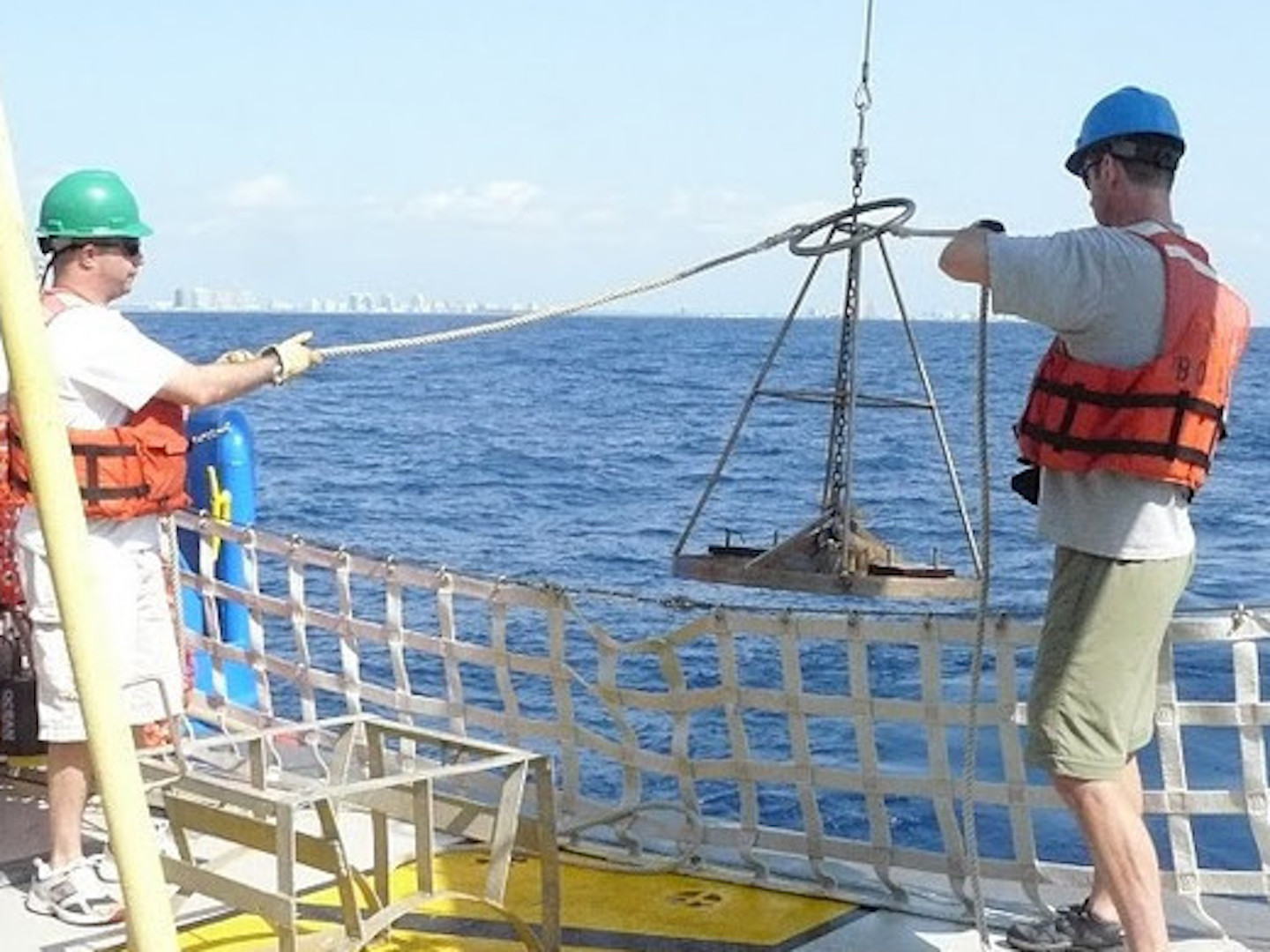
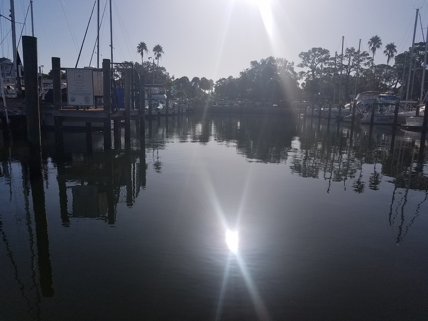
Site Designation Study, Port Everglades Harbor ODMDS Expansion
Ft Lauderdale, FL
Channeling
potential into
progress

Active Filters:
10 projects found

The right partner for your project
Learn about our full range of service offerings, and our wealth of experience in each.